Search

Categories

    • categories-img Jacket, Women
    • categories-img Woolend Jacket
    • categories-img Western denim
    • categories-img Mini Dresss
    • categories-img Jacket, Women
    • categories-img Woolend Jacket
    • categories-img Western denim
    • categories-img Mini Dresss
    • categories-img Jacket, Women
    • categories-img Woolend Jacket
    • categories-img Western denim
    • categories-img Mini Dresss
    • categories-img Jacket, Women
    • categories-img Woolend Jacket
    • categories-img Western denim
    • categories-img Mini Dresss
    • categories-img Jacket, Women
    • categories-img Woolend Jacket
    • categories-img Western denim
    • categories-img Mini Dresss

Filter By Price

$
-
$

Dietary Needs

Top Rated Product

product-img product-img

Modern Chair

$165.00
product-img product-img

Plastic Chair

$165.00
product-img product-img

Design Rooms

$165.00

Brands

  • Wooden
  • Chair
  • Modern
  • Fabric
  • Shoulder
  • Winter
  • Accessories
  • Dress

Welcome and thank you for visiting us. For any query call us on 0799 626 359 or Email [email protected]

Offcanvas Menu Open

Shopping Cart

Africa largest book store

Sub Total:

Search for any Title

Mapping America's National Parks : Preserving Our Natural and Cultural Treasures

Extended Catalogue

Ksh 5,950.00

Format: Paperback or Softback

ISBN-10: 1589485467

ISBN-13: 9781589485464

Publisher: ESRI Press

Imprint: Environmental Systems Research Institute Inc.,U.S.

Country of Manufacture: GB

Country of Publication: GB

Publication Date: Jun 3rd, 2021

Publication Status: Active

Product extent: 304 Pages

Weight: 902.00 grams

Dimensions (height x width x thickness): 25.40 x 27.80 x 1.30 cms

Choose your Location

Shipping & Delivery

Door Delivery

Delivery fee

Delivery in 10 to 14 days

  • Description

  • Reviews

Go behind the scenes at the National Park Service to see how maps are used to manage and sustain our national parks in Mapping America’s National Parks: Preserving Our Natural and Cultural Treasures.

Get an insider look at the US National Park Service to see how they use maps and geospatial technology to protect and manage America’s national parks.

Maps easily cap your first greeting upon arrival at a national park, allowing you to visualize its vastness, plan your trip, and keep a compact souvenir of your visit. But for the US National Park Service (NPS), maps do more than provide guidance and navigation. Maps help the NPS protect visitors and natural resources. They help manage fires, both unplanned and prescribed. They provide a basis for preserving cultural resources, such as archaeological sites and historic buildings, and for establishing needed facilities, infrastructure, and transportation.

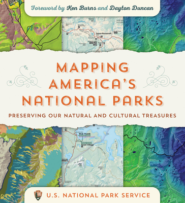
The maps in Mapping America’s National Parks: Preserving Our Natural and Cultural Treasures are not only beautiful representations of special places. Within the maps are layers of geographic information—a bevy of research and science—that the NPS uses to perform these myriad essential services and to ultimately fulfill their mission.

With over 240 full-color maps and photographs of national parks, monuments, battlefields, historic sites, lakeshores, seashores, scenic rivers and trails, and more, Mapping America’s National Parks takes you on a journey through our most treasured locations and shows how geographic information system (GIS) software helps the NPS keep the balance between park enjoyment and preservation.

Through stories told by their own staff, discover how GIS helps the NPS:

  • provide security for individual wildlife species, members of a crowd at a peaceful demonstration, and entire ecosystems;
  • analyze where people most likely are stranded, where they are least likely stranded, and distribute assets in search and rescue operations;
  • develop strategic plans, budgets, and protection for fire management; and
  • share intelligence on wildlife trafficking, zoonotic diseases, field medicine protocols, and more.  

Go behind the scenes to see how mapping and geospatial analysis support the full range of NPS natural resource stewardship and science activities. With NPS planning aided by geospatial technology, future generations of park visitors—your children and their children—will be able to enjoy our national parks for years to come.


Get Mapping America's National Parks by at the best price and quality guranteed only at Werezi Africa largest book ecommerce store. The book was published by ESRI Press and it has pages. Enjoy Shopping Best Offers & Deals on books Online from Werezi - Receive at your doorstep - Fast Delivery - Secure mode of Payment

Customer Reviews

Based on 0 reviews

Mind, Body, & Spirit